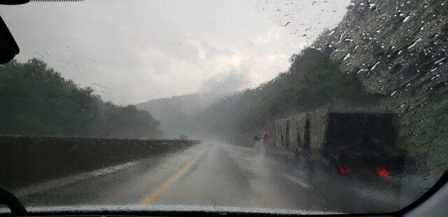
New York State is preparing its emergency response as a rapidly developing low-pressure system is expected to bring heavy rainfall across most of Long Island, New York City and the Mid- Hudson Region.
The first round of rain is expected to begin Monday night, Oct. 25, and become heavy Tuesday, Oct. 26., followed by a second one, Tuesday evening.
Rainfall totals of two to four inches with locally higher amounts are possible, and rainfall rates could exceed one inch per hour at certain points, said the National Weather Service.
Heavy rainfall combined with already saturated soils will likely cause flooding in various locations, and high winds may cause downed tree limbs and power lines. Heavy rain, wind, and saturated soil could result in some uprooted trees. Governor Hochul urged New Yorkers to pay attention to updated weather forecasts and follow any local emergency orders that may be issued.
“This fast-moving weather system is expected to bring a lot of rain to the downstate area through Tuesday night, and New Yorkers should keep a close eye on the forecast so they can be prepared for any inclement weather that may come their way,” Gov. Kathy Hochul said. “I have directed State agencies to prepare emergency response assets and to be ready to deploy them in the event our local governments and communities in those regions are in need of assistance. We stand ready to help our fellow New Yorkers.”
A Flash Flood Watch is in effect for Long Island, New York City, and counties within and near the lower Mid-Hudson Region through Tuesday afternoon.
A Wind Advisory is also in effect for Suffolk County from Tuesday afternoon to Wednesday morning as wind gusts up to 50 mph could bring down tree limbs and power lines, and saturated ground from heavy rainfall could result in some uprooted trees.
The Thruway Authority has 656 operators and supervisors who are set to respond to wind and flood-related issues.
The New York State Department of Transportation is also prepared to respond.
The state said the New York Power Authority and the State Canal Corporation are monitoring conditions.
NYS also recommended the following severe weather preparation safety tips:
-Know the county in which you live and the names of nearby cities. Severe weather warnings are issued on a county basis.
-Learn the safest route from your home or business to high, safe ground should you have to leave in a hurry.
-If advised to evacuate, do so immediately. Take only essential items and bring pets if possible.
-Develop and practice a ‘family escape’ plan and identify a meeting place if family members become separated.
-Avoid driving or going outdoors during a storm. Flooding and damaging winds can make traveling dangerous.
-If you must be outside, do not walk into flowing water. Six inches of swiftly moving water can knock you off your feet.
-If you must drive, remember: “Turn Around, Don’t Drown!” Don’t drive through flooded roads as cars can be swept away in only two feet of moving water. If your vehicle is trapped in rapidly moving water, stay in the vehicle. If water is rising inside the vehicle, seek refuge on the roof. Do not drive around road barriers.


